@Ray Arvidson thank you for the replay.
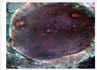
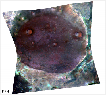
I am aware of using ENVI and CAT so I can transform the cube data to the map projection. But I am trying to read the data into Matlab in combination with the MOLA data. But since the cube is distorted (stretched to fit in a cube), I can't align the cube data with the MOLA data. I have also been able to read the DDR file and I got a cube with 14 layers in the 3rd dimension. At layer 4 and 5 I have the latitude and longitude map, but I am not quite sure on how to read them, since the data oscillates a lot. Also to be noted, I am using these functions to read the cube and DDR data and at least the cube data look reasonable, but the DDR data look just uniformly gray with salt and pepper noise on them.
Thanks a lot for you help, since I am quite new in the field and I want to understand how to interpret the data I am getting.